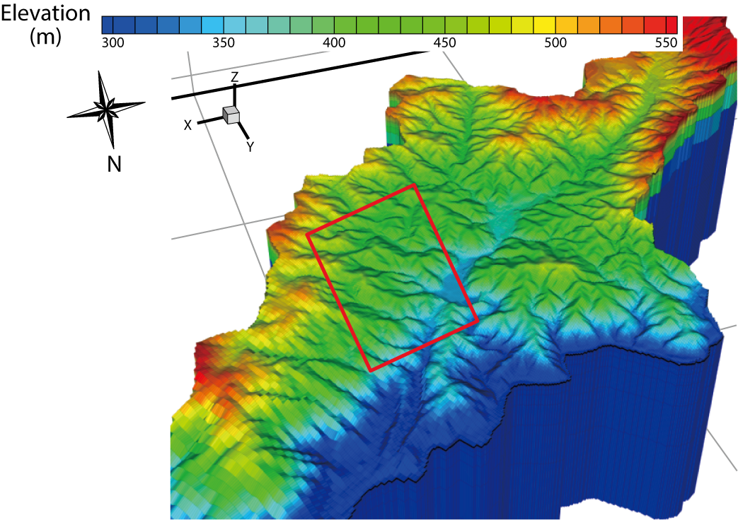
Fig.1-30 3-D-structure model developed for the study area
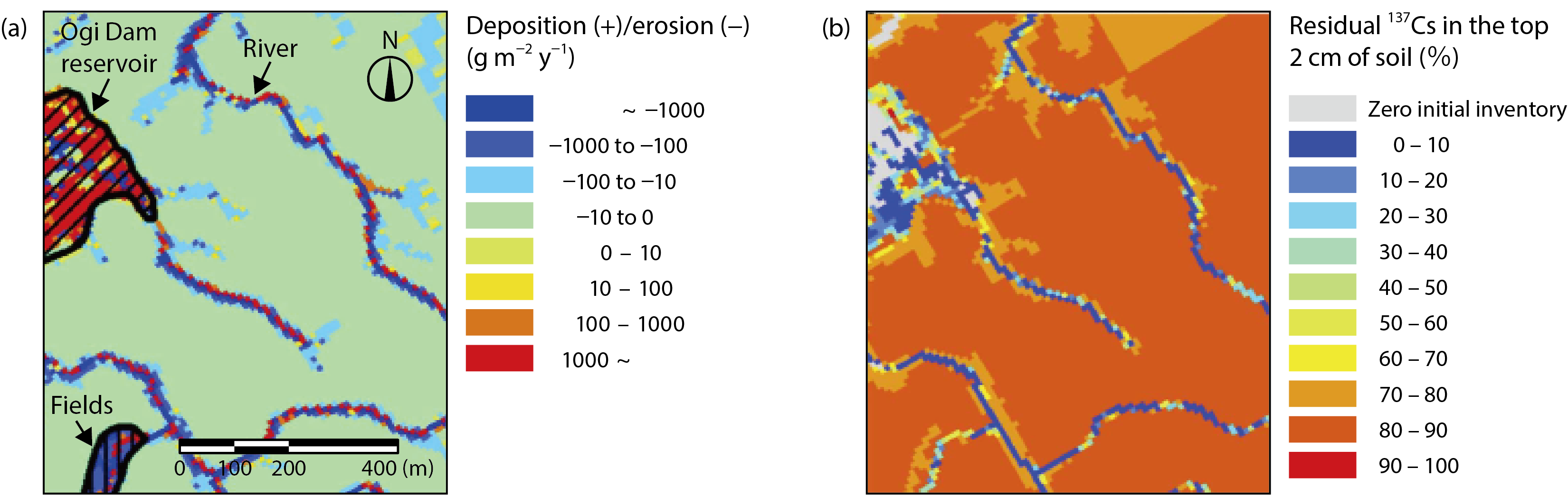
Fig.1-31 The amount of sediment erosion and deposition (a) and the fraction of residual 137Cs (b) from May 2011 to December 2015
Due to the accident at the TEPCO’s Fukushima Daiichi NPS, significant amounts of radiocesium (RCs) remain in the top surface soil because RCs have the characteristic of adsorbing strongly to soil particles including clay minerals. Surface-soil erosion by heavy rainfalls such as typhoons is important for predicting RCs behavior in the watershed; however, we need to describe both surface and subsurface water flow to simulate this behavior with and without precipitation periods. In this study, we applied the watershed model GETFLOWS, which can describe sediment and RCs transport to an Oginosawa river catchment (Fig.1-30) in Fukushima.
Fig.1-31 shows the amount of sediment erosion/deposition and the fraction of the residual 137Cs inventory from May 2011 to December 2015. Sediment erosion was found to have occurred significantly and the 137Cs inventory decreased in the vicinity of the river channel and forest gullies. On the other hand, sediment erosion did not occur much in the forested area far from the rivers, with the result that the 137Cs inventory remained. Therefore, the physical decay of 137Cs is the most important factor in forested areas far from rivers. Calculation of 137Cs sources supplied to the river at this catchment showed that contributions from the vicinity of the river channel were an order of magnitude higher than that from the forested area far from rivers. This is because surface-water flow during heavy-rainfall events can cause high sediment-erosion rates. In the future, 137Cs discharge to the river is expected to decrease due to the decreasing 137Cs inventory in the vicinity of the river and the migration of 137Cs from top-surface soil to deeper soil. We need to watch the downstream influence of 137Cs discharge by decontamination or starting cultivation in the future.
Verification and improvement of this study, especially dissolved RCs which is high bioavailability, can be used to understand mechanisms of dissolved RCs behaviors in environment in the future.

